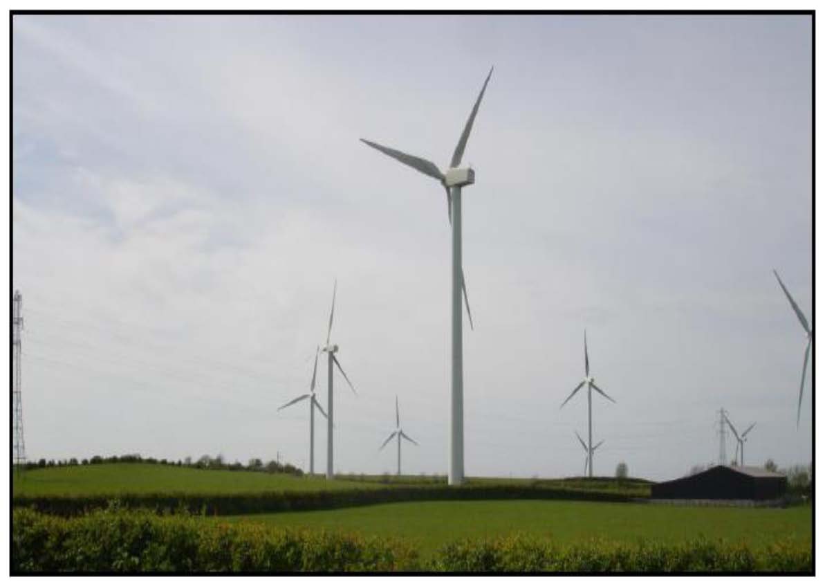
Cumbria and Lancashire is an area of diverse and frequently high quality landscape, which is valued for its environmental qualities, and for the economic and amenity benefits it brings. This landscape is subject to increasing pressure to accommodate energy and communications related vertical infrastructure - most notably wind turbines, and the National Grid North West Coastal Connections (NWCC) project.
The National Planning Policy Framework is generally supportive of sustainable development. It also recognises the need to consider the landscape, visual and cumulative impact of development.
The Cumulative Impact of Vertical Infrastructure (CIVI) is recognised as an increasingly relevant issue in parts of Cumbria and Lancashire. In response, WYG was appointed to objectively assess this impact, under guidance from Cumbria County Council, in partnership with Lancashire County Council, Allerdale Borough Council, Carlisle City Council and the Lake District National Park Authority.
The CIVI work seeks to:
Assess how existing and proposed developments involving the introduction of vertical elements into the landscape are resulting in cumulative effects on landscape character and visual amenity;
Identify the degree to which cumulative effects of vertical infrastructure developments upon landscape character may be considered a constraint on further such developments;
Provide evidence base to support local policy.
The work considered all vertical energy and communications infrastructure over 15m in height lying within the study area of Cumbria and North Lancashire, as well as the influence of larger infrastructure outside the study area. The methodology adapted industry standard good practice guidance on landscape and visual impact assessment, and the assessment of wind turbine developments. Whilst the remit of the work is wider than wind turbine development alone, it has been designed to supplement the Cumbria Wind Energy SPD, (which remains the primary source of guidance in regard to wind turbine assessment in Cumbria).
The spatial information has been produced in GIS format. It is intended that the assessment is used via GIS, in conjunction with the final reports, which have been produced in pdf format. The 'Key Findings and Guidance' document summarises the findings, and gives practical guidance in regard to how the work can be used in the assessment of applications for vertical infrastructure development. Summary plans and detailed methodology are contained in the background documents.
- Part 1 Key Findings and Guidance [pdf - 2.8mb]
- Part 2 The Assessment Report [pdf - 15.4mb]
- Appendix 1 GIS Technical Report [pdf - 6.0mb]
- Appendix 2 Book of Maps - Contents and Introduction [pdf - 1.1mb]
- Appendix 2 Book of Maps - Study Area (SA) [pdf - 2.7mb]
- Appendix 2 Book of Maps - Landscape Character Assessments (LCA) [pdf - 8.6mb]
- Appendix 2 Book of Maps - Visual Receptors (VR) [pdf - 5.4mb]
- Appendix 2 Book of Maps - Landscape Designations and Policies (DES) [pdf - 6.2mb]
- Appendix 2 Book of Maps - Landscape Category (CAT) [pdf - 8.0mb]
- Appendix 2 Book of Maps - Vertical Infrastructure (VI) [pdf - 8.4mb]
- Appendix 2 Book of Maps - Zone of Theoretical Visibility (ZTV) [pdf - 9.2mb]
- Appendix 2 Book of Maps - Susceptibility (SUS) [pdf - 9.2mb]
- Appendix 2 Book of Maps - Sensitivity (SEN) [pdf - 11.7mb]
- Appendix 2 Book of Maps - Magnitude of Change (MAG) 1-10 [pdf - 11.0mb]
- Appendix 2 Book of Maps - Magnitude of Change (MAG) 11-20 [pdf - 10.0mb]
- Appendix 2 Book of Maps - Magnitude of Change (MAG) 21-30 [pdf - 7.6mb]
- Appendix 2 Book of Maps - Significance of Effects (SIG) 1-11 [pdf - 11.9mb]
- Appendix 2 Book of Maps - Significance of Effects (SIG) 12-22 [pdf - 8.1mb]
- Appendix 2 Book of Maps - Significance of Effects (SIG) 23-30 [pdf - 9.5mb]
- Appendix 2 Book of Maps - Nationally Significant Infrastructure Projects (NSI) [pdf - 4.1mb]
- Appendix 2 Book of Maps - Temporal Distribution (TMP) [pdf - 3.9mb]
- Appendix 3 Ground Truthing [pdf - 29.1mb]
- Appendix 4 LCA Tables - Into and Contents [pdf - 0.3mb]
- Appendix 4 LCA Tables - Cumbria [pdf - 11.6mb]
- Appendix 4 LCA Tables - Lancashire [pdf - 5.7mb]
- Appendix 4 LCA Tables - Lake District National Park [pdf - 16.8mb]
- Appendix 4 LCA Tables - Yorkshire Dales National Park [pdf - 1.9mb]
- Appendix 4 LCA Tables - Solway Coast AONB [pdf - 6.6mb]
- Appendix 4 LCA Tables - Forest of Bowland AONB [pdf - 7.5mb]